Five
The next morning upon check out I don’t quite believe the owner when he says that this is a fine day. Down here at the beach you can only see about ten feet. But only five miles inland the sun is indeed shining and the weather is quite nice. I drive back the way I came for about ten miles and then turn left for a road that was highly recommended both by the guide book as well as the owner of last night’s inn. There is a bit of confusion between my various maps as to which of the roads in question is paved and which not, so I had to consult with the locals. (Should you be following this on a map: Kings Peak Road, the natural choice and stated as paved on at least one of my maps, is not. Instead, you have to go all the way back and drive via Ettersburg.)
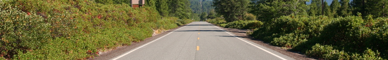
Turns out that even the better road has a bit to wish for. It is quite narrow, incredibly curvy and rather up and down again. For about a mile it even isn’t paved at all. But who am I kidding. Driving is immense fun, especially since there are only about five other cars about. First the road sticks to the mountain range. It then enters a plateau formed by the Mattole river with sweeping hills. Turning back into the forests, it takes a left turn at some point and the sudden and unexpected change all but takes your breath away. A green valley with bare mountains on both sides opens up towards the Pacific rolling into a beach stretching away towards another mountain range far in the north. Clouds are steaming up those mountains, but around here the sky is clear.
The only drawback is that all the land is privately owned, fenced off from the road and, according to the signs, patrolled. While the owner of last night’s inn said I should just park somewhere and climb the fence, I apparently heard one horror story about Americans to often and only stop at a more ragged point where the beach is not fenced off. Out of the car, it is quite cold and a strong wind is blowing inland.
Further on, I reach the mountains that end the beach. They are Cape Mendocino, the westernmost point of California, and need crossin in order to get back into civilization represented by the small community of Ferndale. Highway 211, which starts here, is the only finished part of the planned extension of highway 1 through the lost coast. Frankly, it is good thing, they never built more of it.
Eureka, fifteen miles down the road, is one of the larger communities in northern California. It even has what qualifies as an Old Town in this parts of the world, that is, something that is older than a hundred years. It is said to be the best preserved Victorian old town in the country. The city’s fathers spoiled the effect a bit, though, when they re-did the central square in the 1970s. It looks a bit like they did a study on how to mess up your old town in Germany. They built a concrete fountain and surrounded it with red cobble stones. The same color they choose for the intersections in the area. Doesn’t look very Victorian to me. Most of the buildings look right out of a Western, though. Two of them contain used book stores (but strangely, no new books to be found). I have some bagels and a coffee, and stroll down to the marina.
Eureka lies at the largest natural harbor of this part of the Pacific coast, Humboldt Bay. Partly because of the extensive lumber operations but partly also because the hinterland had a minor gold rush during the late 19th century, the harbor allowed Eureka to become the largest town around.