Highway One tries somehow to master the Pacific coast north of the town of Jenner.
Just north of the town of Point Arena a road branches off that leads to the local lighthouse.
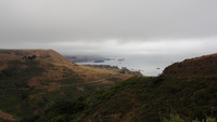
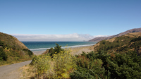
Down there where the clouds are is not only the Pacific but also Shelter Cove, a small village where this day's driving will end.
A photograph can only but fail misserably in showing the view that suddenly comes upon the unexpecting driver at this point.
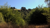
From back there, up in the hills the last picture was shot. Note the clouds gathering in the mountains in the far distance.
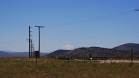
Just south of Klamath Falls one sees Mount Shasta for the first time. At this point, the mountain is still seventy miles away.
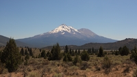
A lot closer but still about thirty miles away …
The town of Weed in the Shasta Valley is dominated by the Mountain.
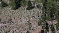
How many people does it take to make a movie? Apparently, a lot.
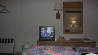
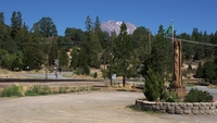
Spending the evening in Mount Shasta. Bonus points if you can name which episode of Scrubs is on.
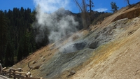
A rather smelly yet colorfull affair at Lassan Park.
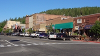
For some reason, the main street of Truckee is not called Main Street but Donner Pass Road. This is the central stretch. On the other side you can find a gas station and a railroad station, too.
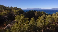
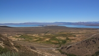
View over Lake Tahoe towards the Mountains of the Sierra Nevada.

Despite the fact that Carson City, the capital of Nevada, lies in the middle of a desert, the state's capitol is surrounded by a lovely park.
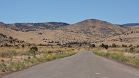
The east side of the Sierra Nevada is rather dry and thus provides my first contact with the prairie.
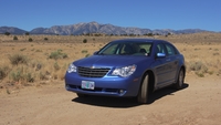
My faithful horse.
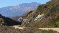
Yes, that is the road down there. Just before it climbs up again.
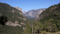
Yosemite's most famous site shown from the back. You may not be able to see it on this picture, but the thing is a single gigantic block of granite.
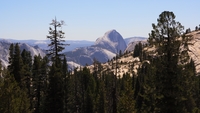
Shot back while climbing out of the valey along highway 41. In the distance you can the front side of Half Dome.
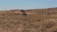
San Joaquin Valley is where the roads go straight on for twenty miles. Just before climbing up into the Coastal Ranges again, there suddenly is a field of oil riggs.
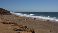
A couple of mountain ridges and a hundred miles later, I am finally back at the Pacific coast.
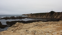
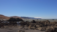
Down here, the coast is amazingly colorful. There is spots with even more colors, but you usually can't stop to take a picture.
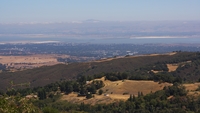
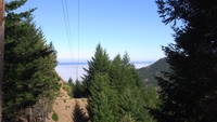
A view over Silicon Valley to San Francisco Bay from the Skyline Boulevard.